
MINING
Our drones, equipped with high-resolution cameras and LiDAR sensors, provide precise aerial surveys, detailed mapping, and real-time site monitoring. This allows for accurate stockpile measurements, hazard inspections, and environmental monitoring.
Example Data
Photogrammetry
Ninox Robotics can quickly capture detailed aerial images and generate precise 3D models of the mining terrain. This technology allows for accurate measurement of quarry dimensions, including depth, volume, and area. Through aerial surveys, our drones gather extensive data that is used to create detailed topographical maps and contour lines. These maps are invaluable for planning extraction activities, managing stockpiles, and monitoring changes over time.

Feature Extraction
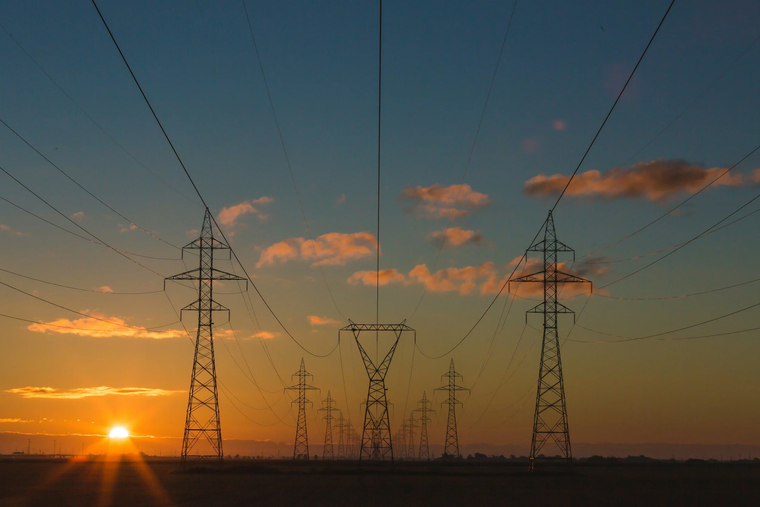
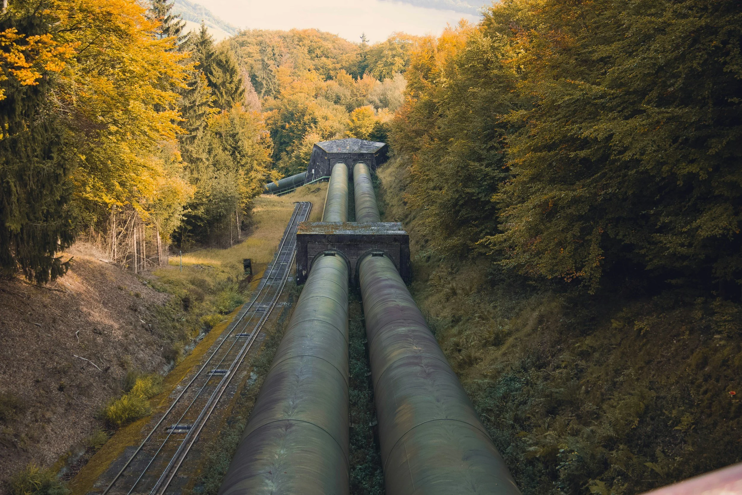
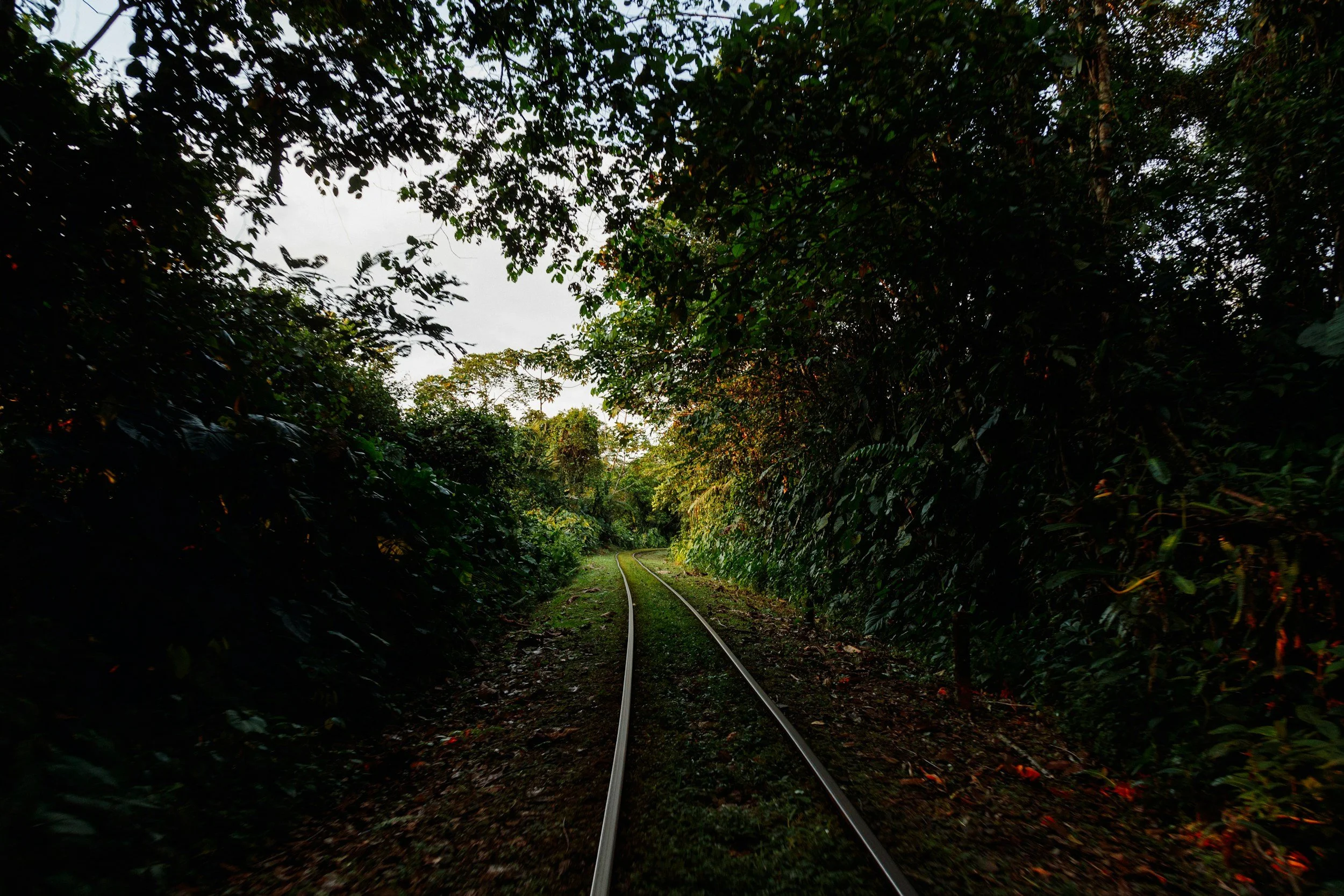
By harnessing the high-resolution capabilities of drone imagery, coupled with sophisticated feature extraction algorithms, stakeholders can obtain actionable insights, facilitating informed decision-making and proactive maintenance strategies for linear infrastructure networks.
Case Study
Gypsum Mine Survey
TO BE REPLACED
Ninox Robotics has worked with
SUMMARY
Key Points
Detection Range: up to 150km radius from the drone
Flight speed: up to 120km/h
Video Type: thermal (LWIR / MWIR) and optical (RGB)
Mapping Resolution: up to 1 cm / pixel
Mapping Area Coverage: up to 20 km²/h
Wind Limitations: launch in up to to 30 knots
Time Limitations: 24/7 operation with rotating teams
Equipment
Octopus Epsilon 180MG
Phase One iXM-RS150F
Riegl VUX-160
Sierra Olympia Vayu HD
Controp M-STAMP
Foxtech Map-A7R IV
Sony A7R
Bluebird SpyLite
If you are interested in utilising our services, or have any questions,
contact us at team@ninox-robotics.com, call 1300 377 977, or request a quote below.