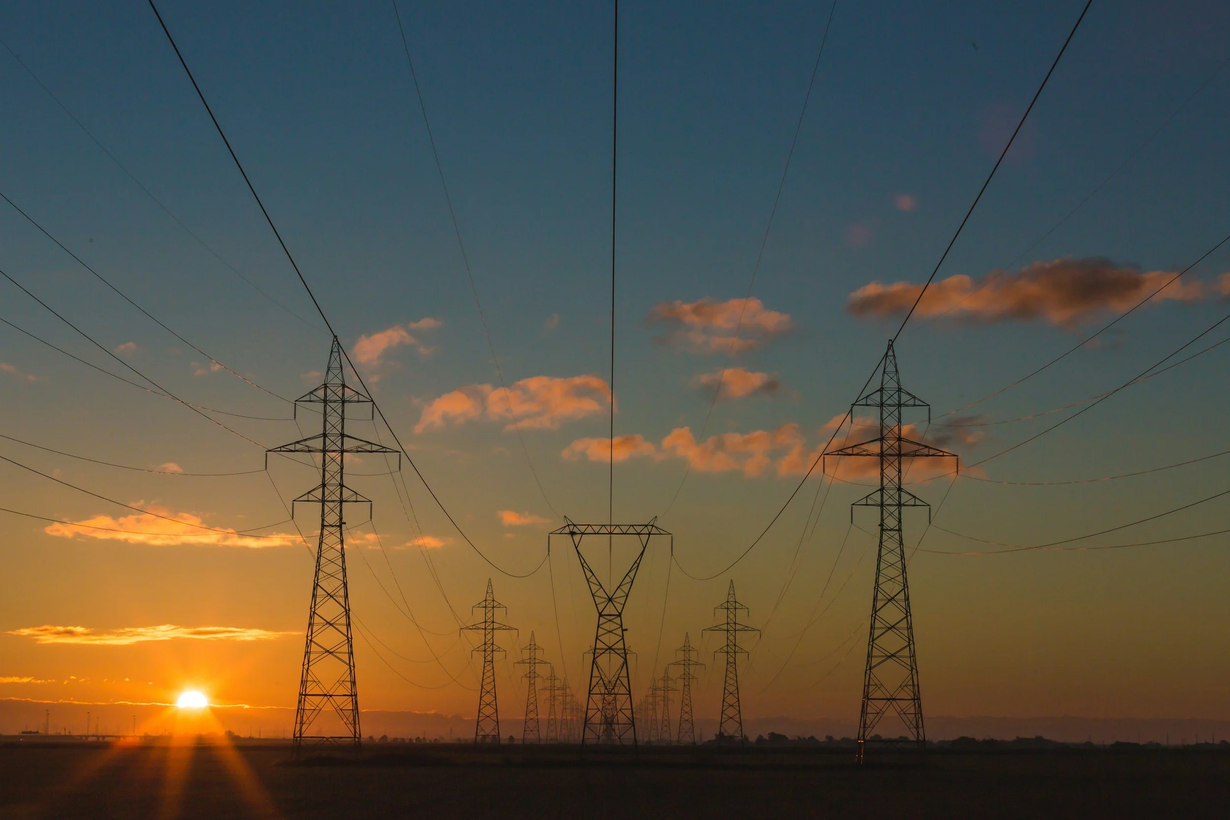
Linear Infrastructure
Ninox Robotics' long-range drone services provide an ideal solution for obtaining comprehensive data along features such as pipelines, electrical grids, and coastlines. With extended operational reach, our drones ensure thorough coverage and detailed views of linear structures, therefore enhancing monitoring, maintenance, and strategic planning efforts.
Example Data
Photogrammetry
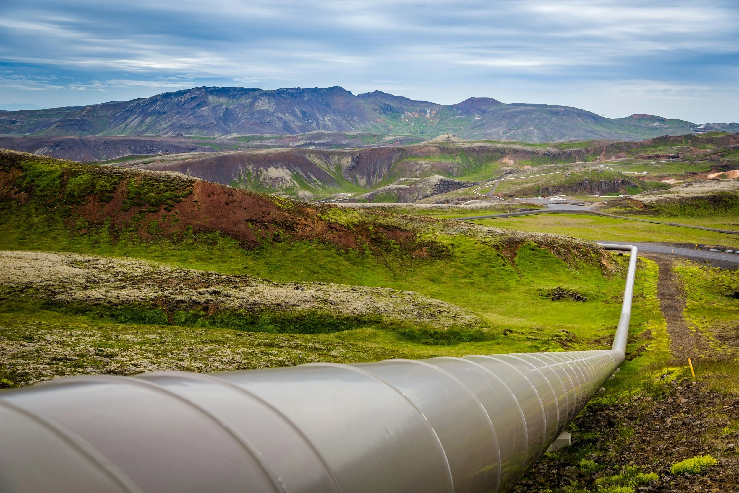
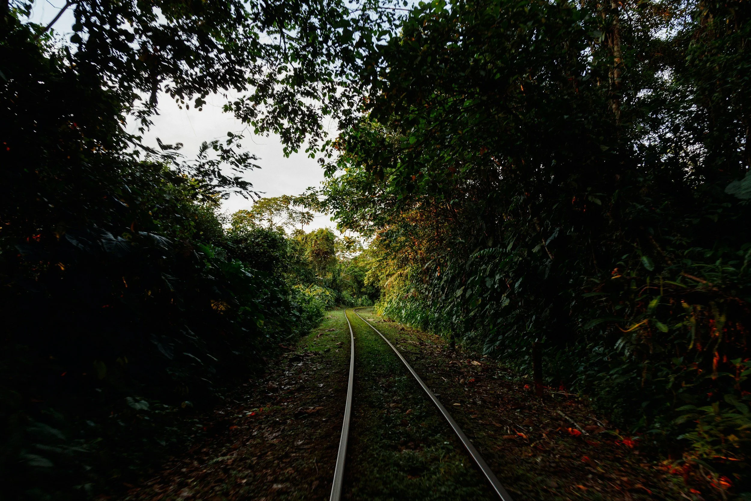
Linear infrastructure mapping can provide detailed insights into asset conditions, environmental factors, and project progress. In this instance, the client sought a high-resolution orthophoto to assess a corridor for potential pipeline construction. Zoom in to see the orthophoto covering a 55 km route.

Feature Extraction
By harnessing the high-resolution capabilities of drone imagery, coupled with sophisticated feature extraction algorithms, stakeholders can obtain actionable insights, facilitating informed decision-making and proactive maintenance strategies for linear infrastructure networks.
Case Study
Jemena
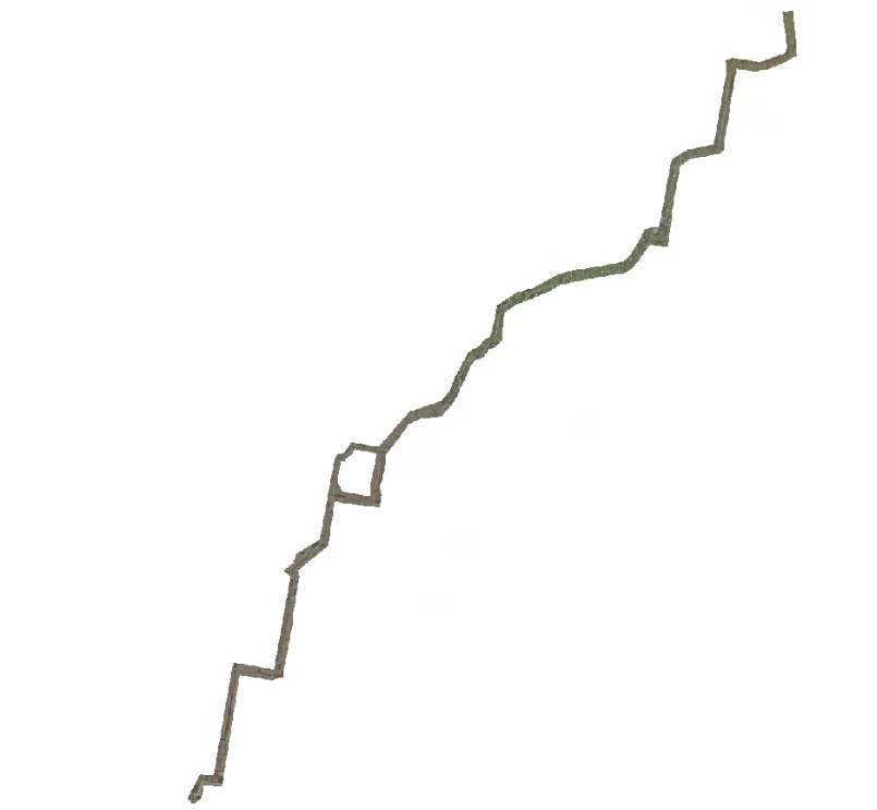
Orthophoto of linear pipeline

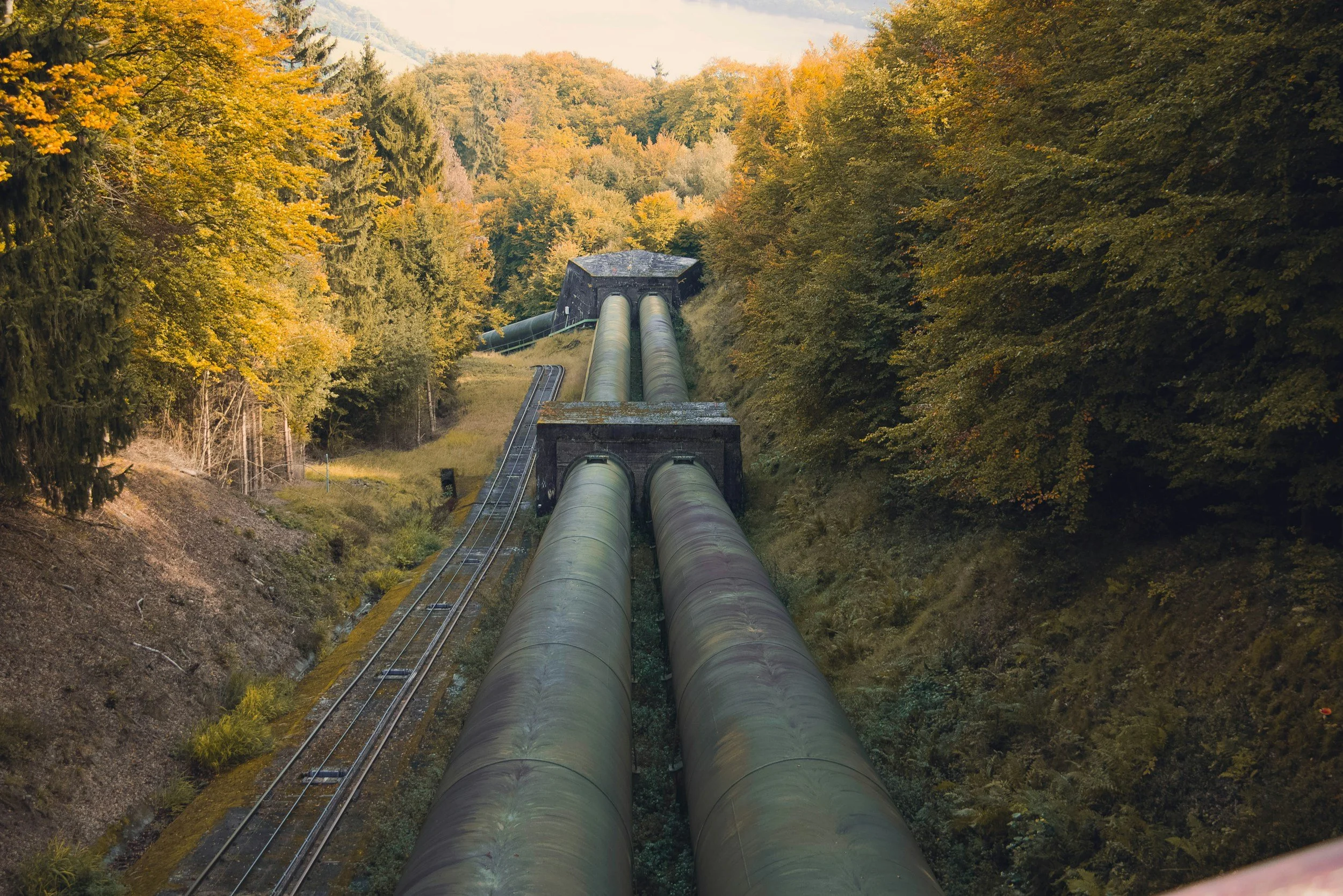
Close inspection of key assets
Ninox Robotics has worked with Jemena to conduct an alignment review of a concept pipeline path that was captured via photogrammetric aerial survey. Jemena own and operate energy and water transportation assets across the northern and east coast of Australia, supplying millions of households and businesses with gas, water and electricity every single day. This method proved particularly useful for the Jemena linear pipeline project that extended approximately 60km in length. The imagery collected allowed for close inspection of key assets. Not only can this be used for planning future work, but can also be directly compared with future data to help the root cause of issues. Ninox Robotics was able to cover the entire area twice in two days, producing a Digital Elevation Model (DEM) with swath of between 400-500m at approximately 3-4cm per pixel.
SUMMARY
Key Points
Detection Range: up to 150km radius from the drone
Flight speed: up to 120km/h
Video Type: thermal (LWIR / MWIR) and optical (RGB)
Mapping Resolution: up to 1 cm / pixel
Mapping Area Coverage: up to 20 km²/h
Wind Limitations: launch in up to to 30 knots
Time Limitations: 24/7 operation with rotating teams
Equipment
Octopus Epsilon 180MG
Phase One iXM-RS150F
Riegl VUX-160
Sierra Olympia Vayu HD
Controp M-STAMP
Foxtech Map-A7R IV
Sony A7R
Bluebird SpyLite
If you are interested in utilising our services, or have any questions,
contact us at team@ninox-robotics.com, call 1300 377 977, or request a quote below.