

FLOODING
Our drones offer detailed assessment and mapping of flood-impacted regions, boosting emergency response and recovery operations while providing valuable insights for strengthening flood resilience and mitigation efforts.
EXAMPLE DATA
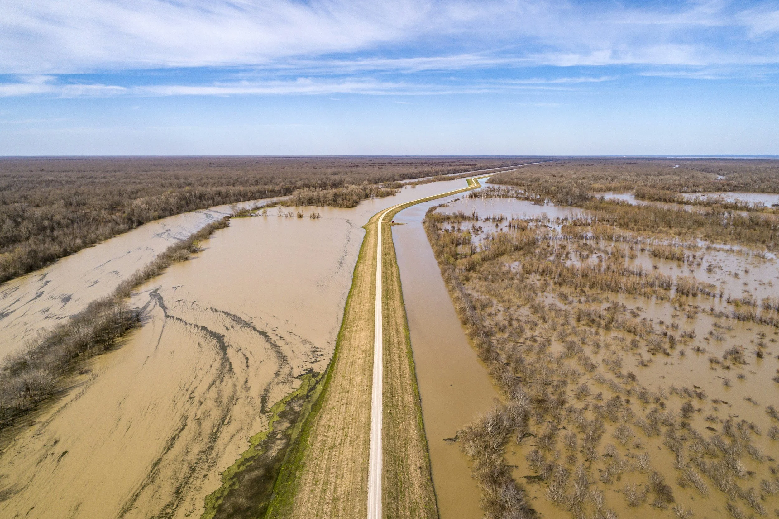
PRE FLOODING MONITORING
Monitor water levels and weather patterns in flood-prone areas. The aerial data collected can aid the identification of potential flood risks and map vulnerable regions, allowing for proactive measures to be implemented.
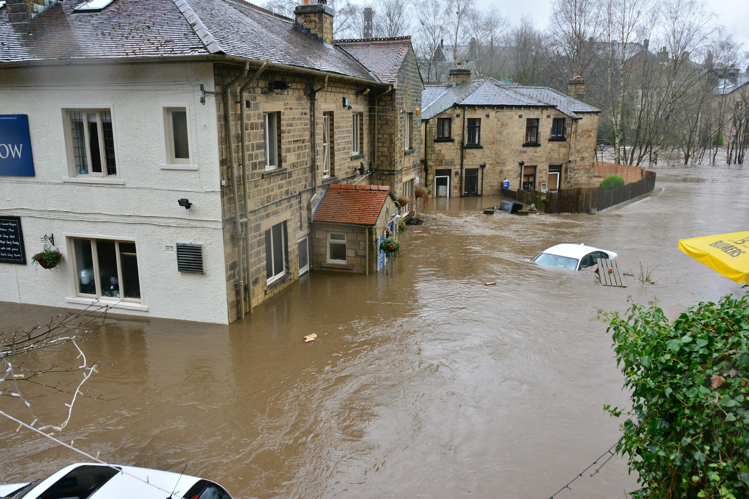
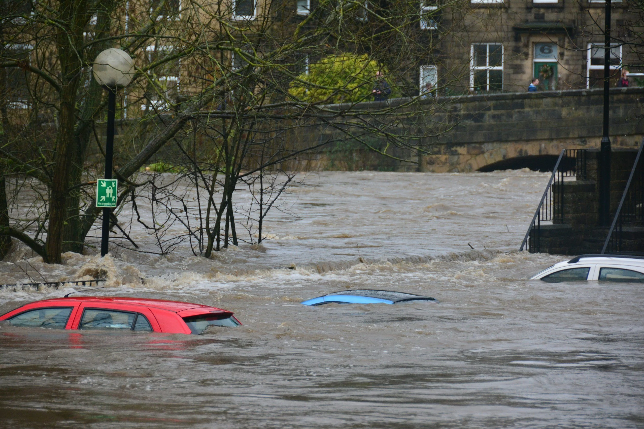
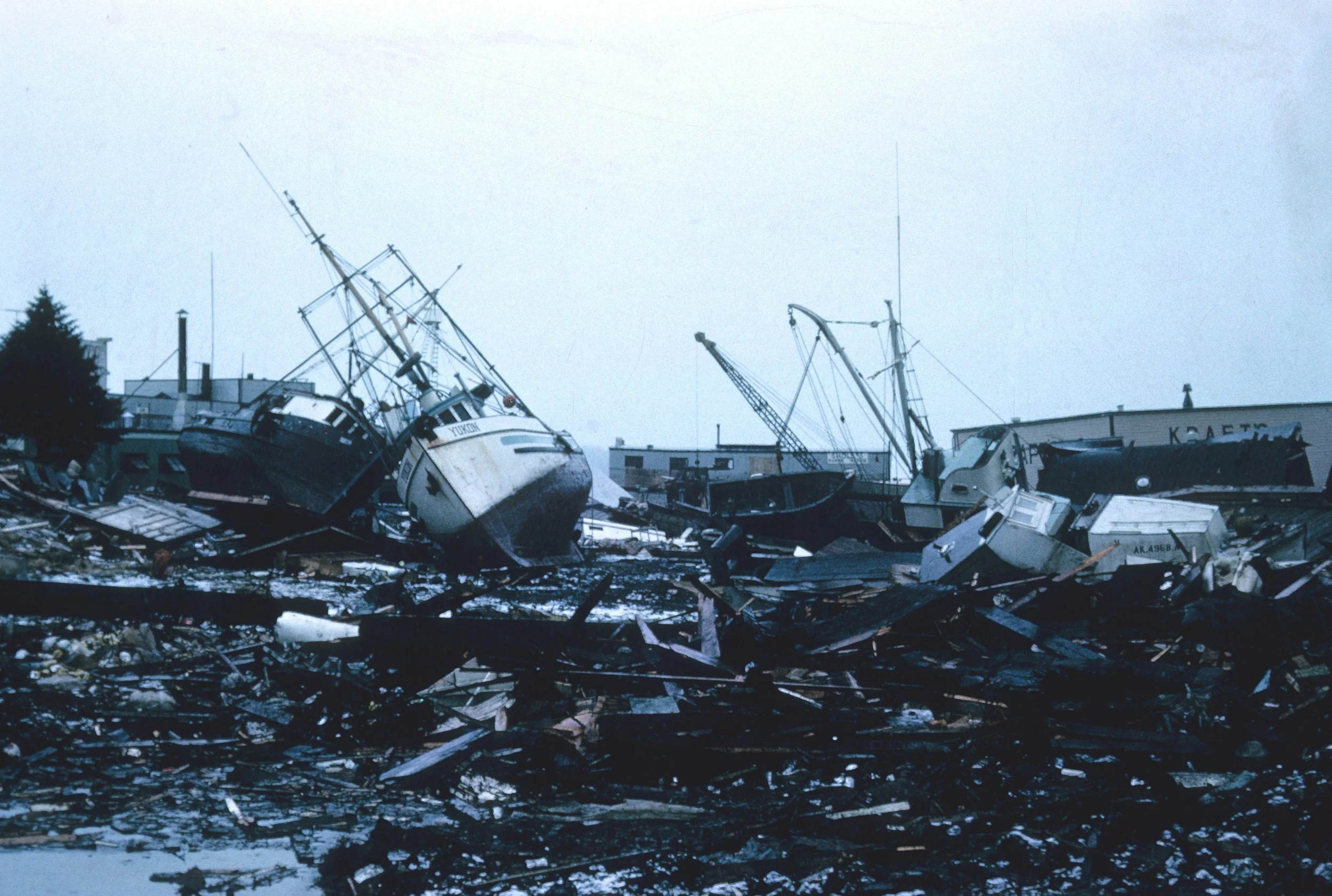
POST FLOOD ANALYSIS
We can capture detailed images and videos that document the extent of flood damage, which is essential for insurance claims and government aid applications. The data collected by our drones can also aid in planning and executing recovery and rebuilding efforts, ensuring that resources are used efficiently and priority areas are addressed first.
SUMMARY
Key Points
Detection Range: up to 150km radius from the drone
Flight Speed: up to 120km/h
Video Type: thermal (LWIR/MWIR) and optical (RGB)
Mapping Resolution: up to 1 cm/pixel
Mapping Area Coverage: up to 20 km²/h
Wind Limitations: launch in up to 30 knots
Time Limitations: 24/7 operation with rotating teams
Equipment
Octopus Epsilon 180MG
Phase One iXM-RS150F
Riegl VUX-160
Sierra Olympia Vayu HD
BlueBird SpyLite
Controp M-STAMP
Foxtech Map-A7R IV
Sony A7R
If you are interested in utilising our services, or have any questions,
contact us at team@ninox-robotics.com, call 1300 377 977, or request a quote below.