
Ninox Robotics provides tailored services for a variety of industries including:
- Energy
- Natural Resources
- Communications
- Construction
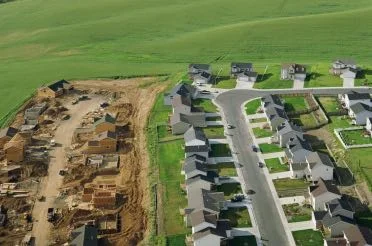
- Mining
- Transport
- Insurance
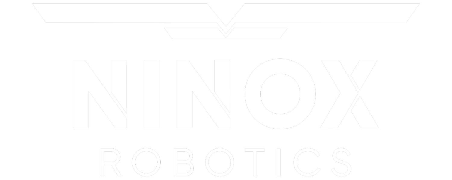
- Real Estate
Monitoring, Linear Mapping, and Area Mapping are the core services we provide. Each is customised to meet your specific requirements, and can be used in combination. See below for more information about each service, and examples of how they provide invaluable information to different industries.
If you are interested in utilising our services, or have any questions,
contact us at team@ninox-robotics.com, call 1300 377 977, or request a quote below.
Monitoring
Provides a real-time view from the sky, perfect for monitoring large areas.
CAPABILITIES*
View: up to 1km wide
Zoom: 10x
Resolution: up to 2cm/px
Vision: switch between thermal and optical
Coverage: up to 60km2/h
For an example of live stream footage, click the button below.
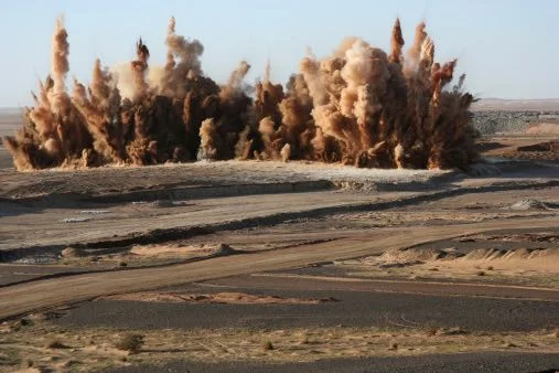
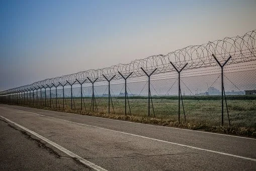
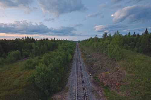
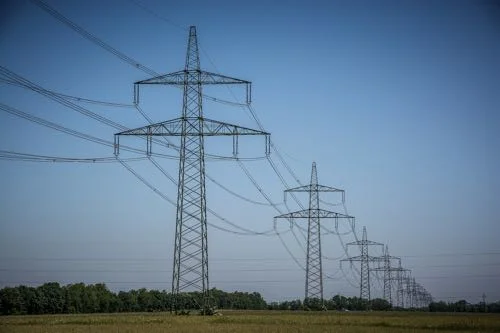
Linear Mapping
Help maintain distributed infrastructure like pipelines, roads, train tracks and powerlines.
CAPABILITIES*
Resolution: up to 2cm/px
Airspeed: 60-120km/h
Coverage: map up to 40km2/h
Flight Area: up to 100km diameter
For an example of the map quality we provide, click the button below.

Area Mapping
Acquire versatile maps of infrastructure and land.
CAPABILITIES*
Resolution: up to 2cm/px
Coverage: map up to 40km2/h
Flight Area: up to 100km diameter
For an example of the map quality we provide, click the button below.


* fly low for best resolution; fly high for best view width, coverage, and radius of operation
Aerial imagery can greatly assist with checking linear infrastructure for damage and wear.